2 min read
GIS Data Sharing in the PSAP
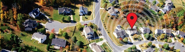
LEAD THE WAY Geographic Information Systems (GIS) is front & center in the march toward a fully-realized i3-based Next Generation 9-1-1 (NG9-1-1) environment. No longer considered a secondary, reactionary tool for Public Safety Answering Points...
Read More