
Emergencies in the Workplace
“84% of Americans are extremely to moderately concerned about calling 911 from an office building, school campus or public facility, and having 911...

“84% of Americans are extremely to moderately concerned about calling 911 from an office building, school campus or public facility, and having 911...
John Snapp discusses the FCC's location-based routing rules for carriers and shares how Intrado Locate Before Route dramatically improves location...

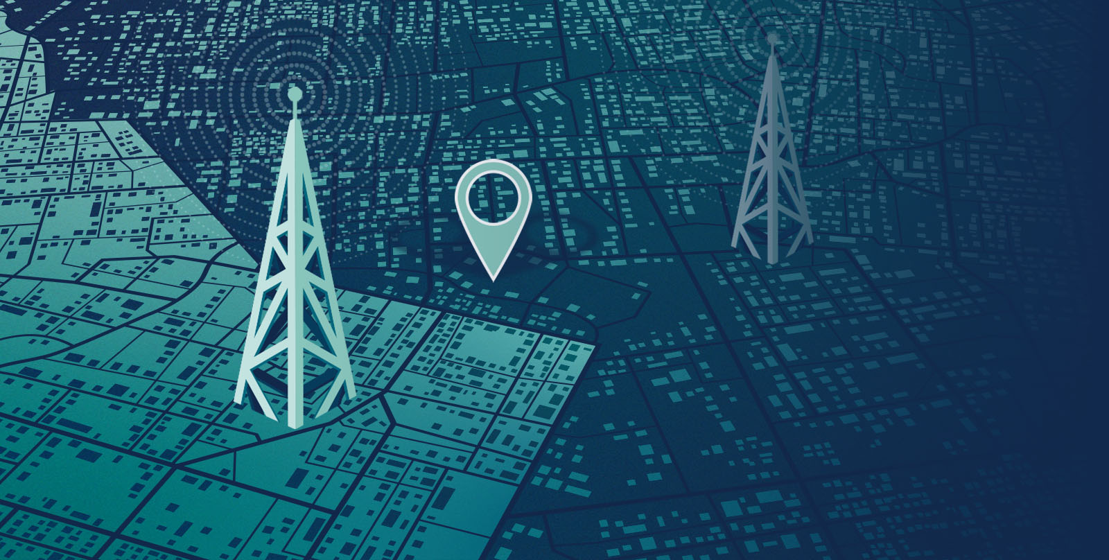
Today we use our phones to navigate, share our location with friends, or track rideshares. Location technology has evolved greatly, but wireless 911...

Modern emergency call handling relies on accurate, timely location data — yet too often, that data is fragmented, delayed, or incomplete. As systems...