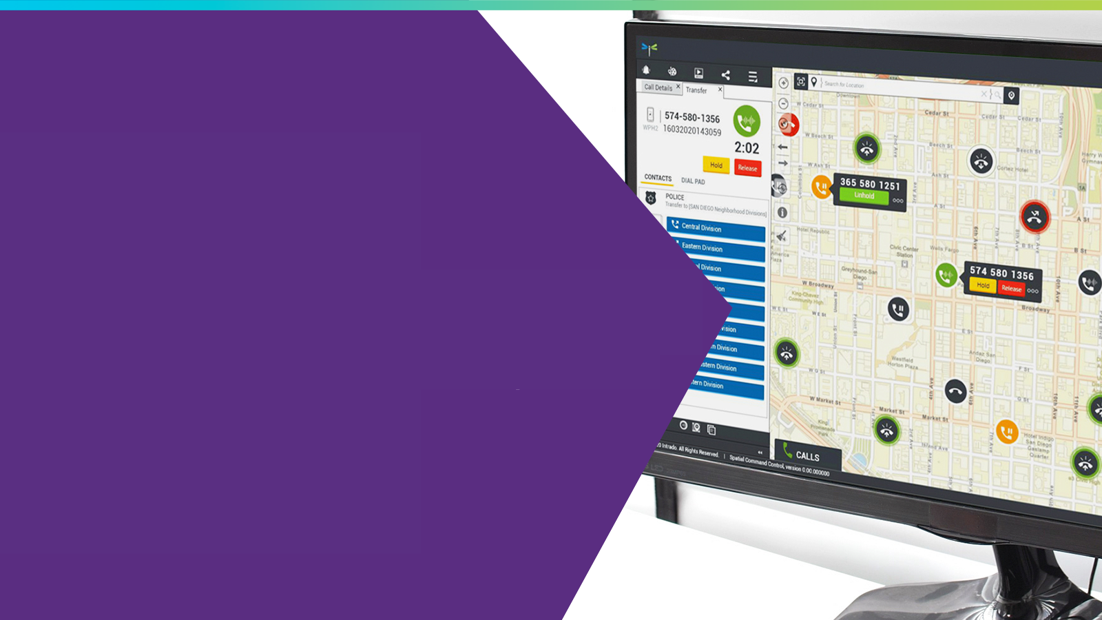
Next Generation 911: The Essentials Guide to Getting Started (Volume IV)
This guide focuses on the role of GIS within NextGen 911, defines the GIS-related functional elements, and describes how to successfully transition...
We’ve brought our unrivaled experience and insights together in this eBook to provide an overview of the GIS data preparation process. Gain an understanding of where you are at today and how to make it easier to move ahead in your journey toward GIS success.
Dive in to learn:
You’ll also get a handy GIS glossary and be eligible for a complimentary NG911 GIS data assessment with one of our experts.
Complete the below form to view or download this eBook.

This guide focuses on the role of GIS within NextGen 911, defines the GIS-related functional elements, and describes how to successfully transition...

GIS Day 2022: How Can You Learn from North Dakota’s GIS Data Upgrade for NG911 Readiness? As public safety answering points (PSAPs) prepare for Next...
.jpg)
We Are Intrado — Empowering 9‑1‑1 Professionals Every call for help deserves a response powered by clarity, speed, and compassion. At...

Spatial Command & Control Many agencies often lack standardized incident response mapping across jurisdictions and mutual aid scenarios are further...