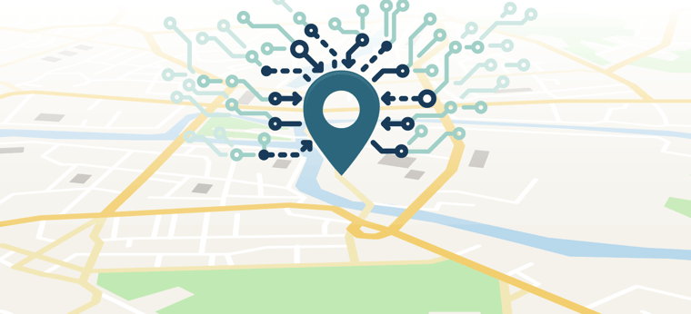
Accurate Mapping Data
Access comprehensive, regularly updated geographic data that supports precise call routing, reliable dispatch, and improved situational awareness across your NG9-1-1 environment.
Emergency Mapping Software
Gain greater control of your operations with comprehensive NG9-1-1 GIS solutions and advanced emergency mapping software designed to deliver accurate location data, support precise call routing, and enhance situational awareness across your PSAP environment.
Complete this form to learn more.
Access comprehensive, regularly updated geographic data that supports precise call routing, reliable dispatch, and improved situational awareness across your NG9-1-1 environment.
Ensure real-time verification of address and location data to reduce errors, improve accuracy, and help first responders reach the correct destination faster.
Seamlessly connect GIS solutions with CAD systems, call handling platforms, and NG9-1-1 infrastructure to streamline workflows and improve operational efficiency.
Leverage advanced emergency mapping software and spatial analysis tools to support planning, resource allocation, and data-driven response optimization.

Extend location services across voice, text, and mobile channels to ensure accurate positioning data is available regardless of how emergency requests are received.

Maintain accurate, centralized geographic data through a unified platform designed to simplify updates, ensure standards compliance, and support long-term NG9-1-1 readiness.
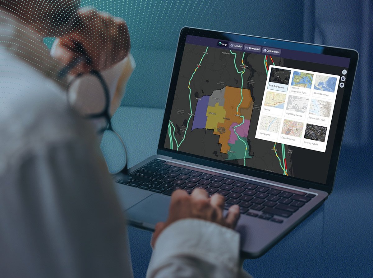
Accurate GIS data is the foundation of effective emergency communications. Intrado helps agencies create, maintain, validate, and optimize GIS data to support precise call routing, NG9-1-1 readiness, and long-term operational success.
FOUNDATIONAL GIS SERVICES
Prepare GIS data for modern emergency communications with services designed to identify gaps, improve quality, and support NG9-1-1 requirements. Intrado helps agencies create missing GIS layers, correct data issues, and synchronize GIS information with legacy 9-1-1 databases such as MSAG and ALI to improve consistency and reliability.

ONGOING DATA MANAGEMENT
Support long-term GIS data quality through workflow design, validation, maintenance, and operational support. Intrado helps agencies establish processes that promote consistent data accuracy while using automated validation tools to identify critical errors before they impact NG9-1-1 operations. Post-deployment support services help agencies monitor and maintain GIS performance after transitioning to a live ESInet environment.

PREPARING FOR NG9-1-1
Intrado provides specialized services that help agencies prepare existing data for NG9-1-1 environments. GeoMSAG Creation & Replacement supports the transition from traditional MSAG databases to GIS-based location data, while Transitional Data Management Services (TDMS) help agencies leverage locally maintained GIS data to manage existing MSAG and ALI databases during migration efforts.

Geographic Information System (GIS) data has played a role in legacy 9-1-1 environments, but it moves to center stage in the NG9-1-1 environment, delivering enhanced geospatial data and advanced situational awareness that dramatically increases location accuracy and reduces response times.
TheAddresser provides enterprise-scale collaboration GIS tools to support addressing authorities and PSAP personnel with the adherence to regulatory requirements regarding NG9-1-1 GIS data and location-based 9-1-1 call routing.
Leveraging TheAddresser, Intrado customers can:
Fill out this form to speak with a member of the team.
of 9-1-1 innovation and leadership
use Intrado geospatial solutions
mapped U.S. address points
If you've moved to NG9-1-1, there's a good chance you already have access to Spatial Engine data. Our proprietary Spatial Engine solution powers many regional and statewide NG9-1-1 networks, providing combined, authoritative data sources into a consolidated database. When combined with other Intrado solutions, it yields significant workflow enhancements and reduces overspending on unnecessary outside services.
Fill out this form to connect with a member of the Intrado team.
Learn how Intrado helps public safety agencies create, maintain, validate, and optimize GIS data to support reliable emergency communications and more effective response
Fill out this form to connect with a member of the Intrado team.